Sailing La Vagabond responds to my accusation of lying
Peter Lukursky of SAILING into FREEDOM addresses the public reaction surrounding his critique of SeaPeople, reviewing a written response submitted by Riley of Sailing La Vagabonde. The dispute centers on whether marine weather data can genuinely be released without commercial cost under promotional campaigns like Free the Wind, or whether underlying technical expenses make such claims misleading to mariners.
Lukursky questions why Riley was documented using established navigation platforms like Windy and PredictWind on his own voyages rather than relying exclusively on SeaPeople. The discussion expands into a technical examination as enterprise architect Bart provides an analysis of global forecasting infrastructure, government meteorological models, and the computational demands of offshore weather routing.
The Debate Over SeaPeople and Free the Wind
Lukursky begins by examining Riley’s written rebuttal, which argued that commercial providers routinely repackage public government forecasts and that introducing one-hour forecast steps provides an important advancement for offshore sailors. Lukursky counters that multiple mobile tools already offer hourly updates without subscription fees. In addition, he contends that high-frequency hourly projections can provide inexperienced sailors with a misleading impression of pinpoint reliability, noting that shifts modeled for late afternoon can arrive hours ahead of schedule due to natural forecast latency.
In his written explanation, Riley acknowledged delivery missteps during the initial launch, clarifying the core mission of the software:
“The thing is though, we are not even a weather app. We’re a tracking and community-based sailing app that makes keeping in touch with friends on the ocean enjoyable and easy.”
Riley
Lukursky notes that framing standard meteorological data as an unprecedented gift misrepresents the marine technology sector, remarking on the necessity of independent scrutiny across the voyaging community:
“Sometimes it takes a crazy person with crazy hair to keep the bastards honest.”
Peter Lukursky
Meteorological Data Costs and Government Model Licensing
To analyze the infrastructure behind marine software, Bart, an information and communications technology architect with twenty years of gliding instruction experience, reviews how raw meteorological projections are generated and distributed. Government agencies rely on atmospheric laser measurements and balloon soundings to calculate mathematical models using supercomputers, updating forecast grids every 6 hours across horizons of 5, 10, and 15 days. While low-resolution GRIB files from NOAA GFS, ECMWF, and France model AROME are publicly released, transforming raw numeric matrices into navigational cartography incurs substantial operational overhead.
“So yes, standard governmental models are free basic data.”
Bart
Bart emphasizes that specialized high-resolution layers are rarely free for commercial software providers. For instance, the Australian weather service charges 16,000 Australian dollars per year simply to license rain forecasting data, whereas neighboring Kiwis distribute regional precipitation models without charge. Cartographic integration presents similar baseline fees: licensing official UK admiralty digital charts costs $10 US per user account annually, translating to an obligation of $100,000 per year for 10,000 free users before server bandwidth, security monitoring, cloud processing, value-added tax, or European regulatory compliance frameworks such as GDPR and DORA are funded.
Routing Algorithms and Navigation Tools
Beyond baseline data feeds, passage planning requires sophisticated computational algorithms capable of factoring vessel polar performance, surface currents, and geographical barriers. Bart critiques simplistic navigational displays that fail to compute actual maritime reality:
“Slapping a line on the map and calling it premium is something anyone can do these days.”
Bart
Lukursky notes that early route planning displays generated straight trajectories across land masses without calculating essential windward tacking angles or tidal flows, though subsequent development began refining these functions. Bart describes his approach with Yachtara, a platform created to enhance navigational security for the Elcano World Challenge. Yachtara supplies baseline meteorological feeds and passage planning without fee, while maintaining an essential service tier at $4 a month to fund premium weather overlays, long-range AIS tracking, anchor surveillance, and vessel maintenance tracking.
SV Elcano Catamaran Refit Update in Vietnam
The episode concludes with an engineering report from the composite shipyard in Vietnam, where Lukursky is overseeing the construction and structural optimization of his performance catamaran SV Elcano. Working alongside local builders at Odyssey, Lukursky completed a significant structural redesign of the forward crossbeam assemblies to optimize displacement while preserving load-bearing integrity:
“I asked Odyssey to remove about 200 kg from the old lingeron and fourbeam. And here we have the final result. More than 200 kg lighter and still the same strength.”
Peter Lukursky
The modified structural components are engineered to pin directly into the bridgedeck and hulls, allowing controlled mechanical compliance as the catamaran navigates through ocean swells during its upcoming blue-water trials.
Marine Data and Structural Specifications
| Resource or System | Authority or Scope | Reported Specification |
|---|---|---|
| Australian Rain Forecast Data | Australian weather service | 16,000 AUD per year |
| UK Admiralty Chart Data | UK admiralty (10,000 accounts) | $100,000 USD per year ($10 USD per account) |
| Yachtara Essential Navigation | Bart / Yachtara platform | $4 USD per month |
| Elcano Catamaran Beam Refit | Odyssey (Vietnam) | 200 kg structural weight removed |
Frequently Asked Questions
Peter Lukursky argued that promotional messaging claiming to make weather free for the first time ignored existing free weather apps, while noting that 1-hour forecast resolution can give inexperienced sailors false certainty regarding changing weather windows.
Riley clarified that SeaPeople was designed primarily as a community and tracking tool rather than purely a weather app, while acknowledging communication missteps during the Free the Wind campaign.
Although raw government models like NOAA GFS are free, high-resolution models, rain data, and official charts require substantial fees, such as 16,000 AUD annually for Australian rain data and $10 USD per account for UK admiralty charts, alongside cloud server and bandwidth costs.
Odyssey boatbuilders removed more than 200 kg from the catamaran’s longeron and forebeam while retaining structural strength, pinning the assembly to the bridge deck and hulls for flexibility across ocean swells.
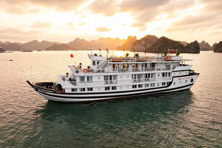
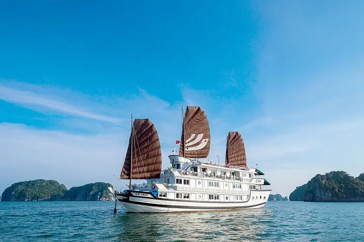
Water adventures in Vietnam
Support SAILING into FREEDOM
At WeBoating.com, we profoundly acknowledge the unwavering dedication that SAILING into FREEDOM invests in crafting each and every video or voyage. Their passion for delivering exceptional ocean content shines through every frame, and it's a labor of love that deserves your attention.
We invite you to watch their captivating videos here and actively engage with their content, including their social media links above. Liking, commenting, and sharing their work goes a long way in fueling their creative fire.
We're also inviting you to explore the gear, sponsorships, and boat partnerships highlighted in the "Sailing La Vagabond responds to my accusation of lying" video description, or directly on YouTube. By engaging with these offerings or purchasing services and items, you directly support SAILING into FREEDOM, their collaborators, and the brands they're associated with.
To ensure you never miss an offshore update, consider visiting their official YouTube Channel to subscribe, like, and join their community directly.
If you have any feedback, corrections, or additional information about SAILING into FREEDOM or their videos, please use the comment form below to share your thoughts with us.
Thank you for being a part of our community and supporting the creators we cherish. Your time and support truly matter!
The "Free the Wind" debate continues — and this time Riley from Sailing La Vagabonde has responded. ⛵🌬️
In this episode of Sailing into Freedom, we look at Riley’s explanation of what SeaPeople is actually offering, compare those claims with existing free weather apps, and dig deeper into what “free weather” really means. Bart joins in to explain the technical side: government weather models, GRIB data, high-resolution forecasts, licensing costs, cloud processing, routing algorithms, and why turning raw weather data into a usable marine product is definitely not free.
We also revisit "SeaPeople’s Route Intelligence Planning", which appeared to ignore wind, current, and land in earlier testing, and discuss why route planning needs more than a straight line and a weather overlay if it’s going to genuinely improve safety at sea.
There’s also an update on Yachtara, including free route planning, premium weather, AIS, anchor watch, maintenance, crew management, and the technology being built to create a smarter onboard first officer. And finally, we get a quick update from the Elcano catamaran build, where the redesigned forebeam and longeron are now more than 200 kg lighter while retaining structural strength.
If you’re interested in "SeaPeople, Free the Wind, Sailing La Vagabonde, marine weather, weather routing, GRIB files, PredictWind, Windy, Yachtara, or offshore passage planning", this episode goes much deeper into what sailors are actually getting — and what they’re not.
#sailing #sailingintofreedom #seapeople #freethewind #sailinglavagabonde #weatherrouting #marineweather #yachtara #predictwind #passageplanning
Get your Sailing Into Freedom Crew T-shirt:
https://teespring.com/stores/sailing-into-freedom
Want more? Became our patron and get access to exclusive content. https://www.patreon.com/sailingintofreedom
If you would like to support with single donations click here - https://www.paypal.me/Plukky
www.yachtara.com
https://www.youtube.com/@UCZEog4uhff-PuL6uxuuwvsw
Also follow us on -
Instagram: https://www.instagram.com/sailingintofreedom
Facebook: https://www.facebook.com/sailingintofreedom
Our website: https://www.sailingintofreedom.comGive it a thumbs up if you liked this episode!
SAILING into FREEDOM
Join Peter 'Plukky' Lukursky of SAILING into FREEDOM as he documents his 2026 custom performance catamaran build in Vietnam and the 'Guest Crew' model defined by Catalina and foundational nomads.
Channel Information:
Social Media Links:
Sailing La Vagabond responds to my accusation of lying Location
- Ho Chi Minh City, Vietnam (10.7769,106.7009)
Latest Episodes from SAILING into FREEDOM
Explore the most recent voyages. Subscribe to the channel to never miss an update!

Ep. 118 Boat update, hydraulics, crew girls and guns
Peter Lukursky reviews hydraulic steering, fuel and water tanks, and forebeam pinning on catamaran Elcano before tuning speargun rubbers and heading out on the reef.
Ep. 117 One island, a caveman and 2 girls. Nice. San Blas, Panama.
Gala and Steph take on tropical island life in Panama's San Blas archipelago, splitting fresh coconuts with an axe, foraging germinated coconut apples, and beachcombing for massive shells.
Sailing La Vagabond responds to my accusation of lying
Peter Lukursky and Bart analyze marine weather data costs, reviewing Riley's response regarding SeaPeople and examining UK admiralty and Australian data licensing.
Sailing LA Vagabonde is Lying – Free wind my Ar@#’se
Plukky examines Sailing La Vagabonde's Free the Wind campaign for the SeaPeople app, comparing its claims against free government weather data and testing its route planner on a 35-mile upwind course in the northern UK.
Ep. 116 OH SHI# !!! Girls on boats shenanigans
An intermittent pump switch leaves freshwater tanks empty aboard SV Freedom in the San Blas archipelago. Peter Plukky Lukursky manages backup reserves, troubleshoots cabin fans with Darren, and spears snapper for dinner.