Watch Sailing & Boating Adventures Around the World tagged “OpenCPN”
Explore sailing, boating, and water sports through our curated video archive. From epic sea voyages to serene diving escapes, discover unforgettable adventures from top YouTube creators. Start your journey. Dream big. Sail far.
Showing 1-11 of 11 results
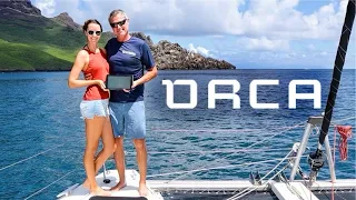
Sail Smarter: Orca Display & Core for Modern Navigation
In this video, we review the Orca Core and Display navigation system—a modern take on the classic chartplotter. We highlight its key features, such as exceptional screen readability, radar capabilities, and remote autopilot control. We also share our hon...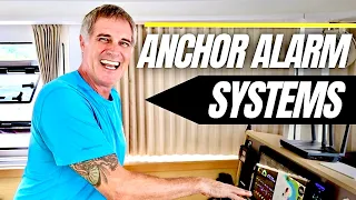
Anchoring with Confidence: Our Top 3 Anchor Alarms
We narrowly avoided several collisions during yet another storm here in the South Pacific, thanks to our tried and true anchor alarms. In this week’s video, we take you to a new anchorage in Taha’a, French Polynesia, and walk you through our top 3 anch...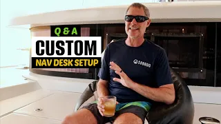
Open-Source Navigation & Boat Monitoring System: Your Questions Answered!
As hurricane season comes to a close, we are savoring our last moments here in Grenada!⛵We swam in the crystal clear water, made cocktails with fresh coconut, lime, and local rum, then waited out a rainstorm before sitting down to answer your questions a...
How OpenCPN and SignalK Replaced Our Expensive Navigation Software
We have recently ditched our expensive navigation software in favor of Signal K and OpenCPN, free alternatives. When planning passages, we can now plot the best course for the weather and current, transfer that course to multiple devices aboard Sabado, ove...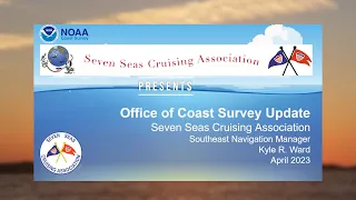
SSCA NOAA Charts Update Webinar
This is a SSCA.ORG public service webinar produced by the Seven Seas Cruising Association to inform boaters about the major changes now taking place with NOAA charts. NOAA is ending its support of traditional raster paper charts and transitioning to digita...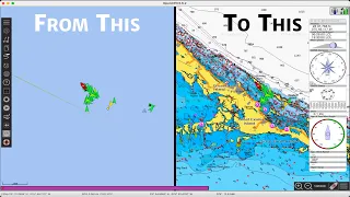
How to Create Your Own Charts for OpenCPN: A Step-by-Step Guide
Getting charts for OpenCPN can be a bit of a pain. Not to fear though, as in this OpenCPN tutorial, we're going to walk through all the steps needed for you to create your own charts. And best of all? All the tools we'll use are free! We'll start by ex...
The EASIEST Way to Get OpenCPN AIS & NMEA Data
In our continuing OpenCPN tutorial series, we're going to show how you can easily get AIS and NMEA data into OpenCPN. We use the wifi network from our Vesper Marine AIS, but we'll talk about various alternatives and show HOW to setup the proper network co...
An easy way to create Satellite Overlays for OpenCPN – Tips on Tuesday
This is an easy way to create Satellite overlays for OpenCPN with a Mac or a PC in 30 minutes or less. That is the set up time, once you are set up, you can create a Satellite overlay in about 5 minutes start to finish. Anyone can do it now quickly, and...
Plotting a course around Somalia pirates
Using OpenCPN we plot a course from Tanga past Somalia to Suqutra (Socotra). We also look at the weather and currents using Predict Wind, look at shipping lanes using MarineTraffic.com. Any questions or comments, please leave them below. Link to Patreo...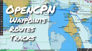
OpenCPN Part 2 – Basic Planning & Navigation
Next up in our series on OpenCPN, the free chartplotter alternative, is how we use the program for basic navigation and planning. We'll cover the following: 0:38 - Measuring Distances 2:43 - Querying Objects in ENC/Vector Charts 4:14 - How to Drop Waypoi...
OpenCPN Basics – The FREE Chartplotter Program
OpenCPN is a FREE program you can use for planning sailing routes, or you can get more in-depth and use it as a complete chart plotter. It is incredibly powerful, and yes, completely FREE! We use OpenCPN all the time aboard Starry Horizons so it was the ...
Something AWESOME is coming!
Be the FIRST to know⛵
Sign up for exclusive updates and be the first to hear when we go live!
Get sneak peeks, exciting announcement, and special content straight to your inbox!
We don’t spam! Read our privacy policy for more info.
